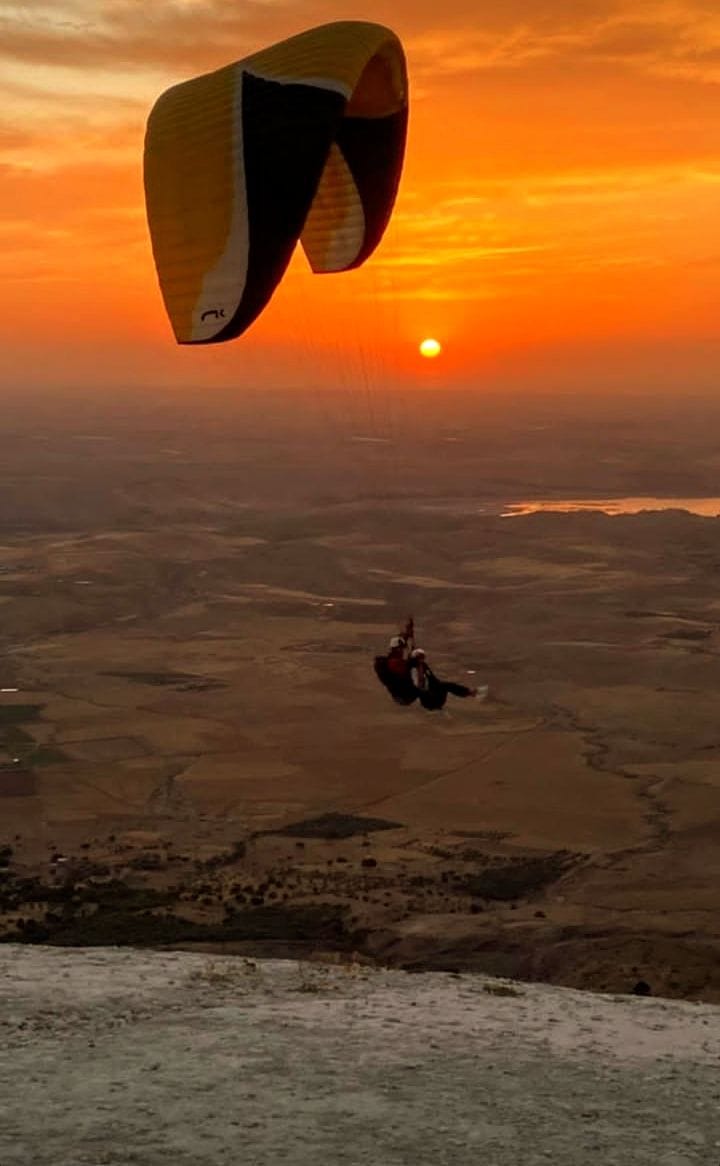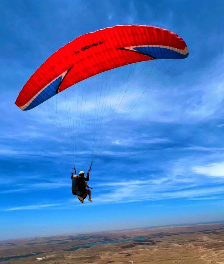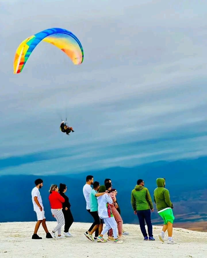


Once you are seated in the harness you look up, and the flight turns into something else. The Aguergour launch faces Lalla Takerkoust lake, with the High Atlas ridges on the other side, so a single turn takes you from water to mountain. Here is what you will have in front of you when you fly over Aguergour with us, and where that landscape comes from, so you can put names to it.
The lake: a reservoir on the N’Fis river
This water is man-made. It is the reservoir behind the Lalla Takerkoust dam, about 35 km south-west of Marrakech on the N’Fis, a tributary of the Tensift. The dam was completed in 1935. From the air the logic of the place is plain to see: a blocked valley, water filling its hollows and a heavily indented shoreline.
The water level varies a great deal from one year to the next. The dam serves irrigation among other uses, and water shortage draws it down: on 20 January 2024, the Moroccan press reported that it was just 26.66% full. So do not expect a fixed picture. The banks may be wide and pale, and the lake smaller than in a photo taken in another year. The contrast with the dry land stays striking either way.
On a map, Lalla Takerkoust refers to the lake, the dam and a town in Al Haouz Province all at once. Aguergour is the village below the launch ridge, and that is the name to remember for the meeting point. The dam has also changed size: the contractor VSL reports working on raising it by 9 m between 1979 and 1981, so that the lake could hold more water.
Under the wing: Aguergour and the villages
Directly below you, the foreground is bare slopes, tracks and ochre roofs. The ridge you launch from stands above the village of Aguergour, with other Berber villages strung out below. From up here they look tiny, and you can read their layout far better than from the road: clustered houses, cultivated plots, the paths that connect them.
The relief itself is a big part of the show. The hills around Aguergour are cut by gullies that draw sharp lines, above all when the sun is low and the shadows lengthen. That is when the slopes take on their warmest colours.
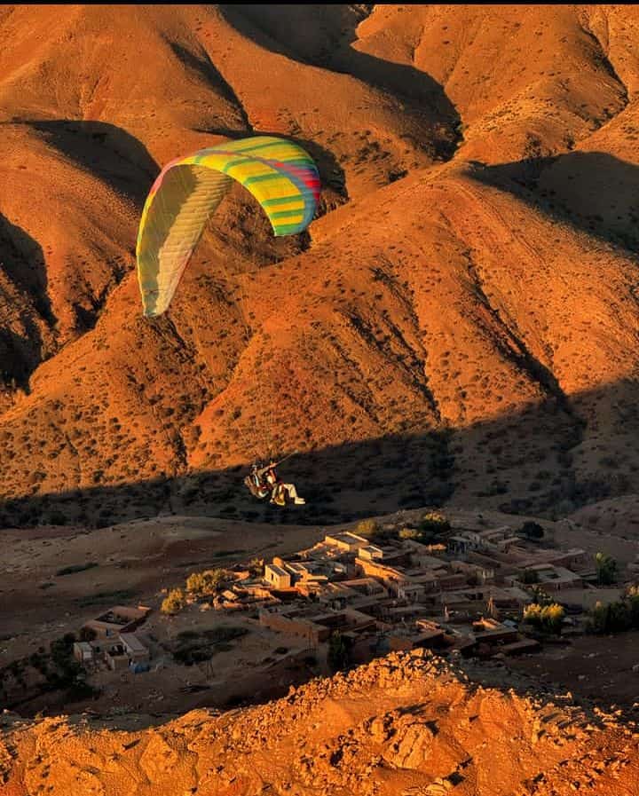
To the south: the line of the High Atlas
On the other side rise the ridges of the High Atlas. The range tops out at Toubkal, 4,167 m, the highest point in Morocco and North Africa. That does not mean you will see it: it all depends on the day’s visibility, and we would rather you asked the pilot once you are in the air than promise you a summit. When the air is clear and snow holds on the heights, the mountains form the white line you can make out from the launch.
To the north, your gaze runs out over the plain towards Marrakech. Its flatness cuts against the nearby relief, and having water, plain and mountain in one field of view is what gives this site its character.
A landscape that changes with the seasons
The scenery is not the same colour all year. Our photos shot from the wing show both faces of it: bright green slopes dotted with yellow flowers, and dry hills in ochre and rust. The green follows the rain, and the ochre returns as the ground dries out.
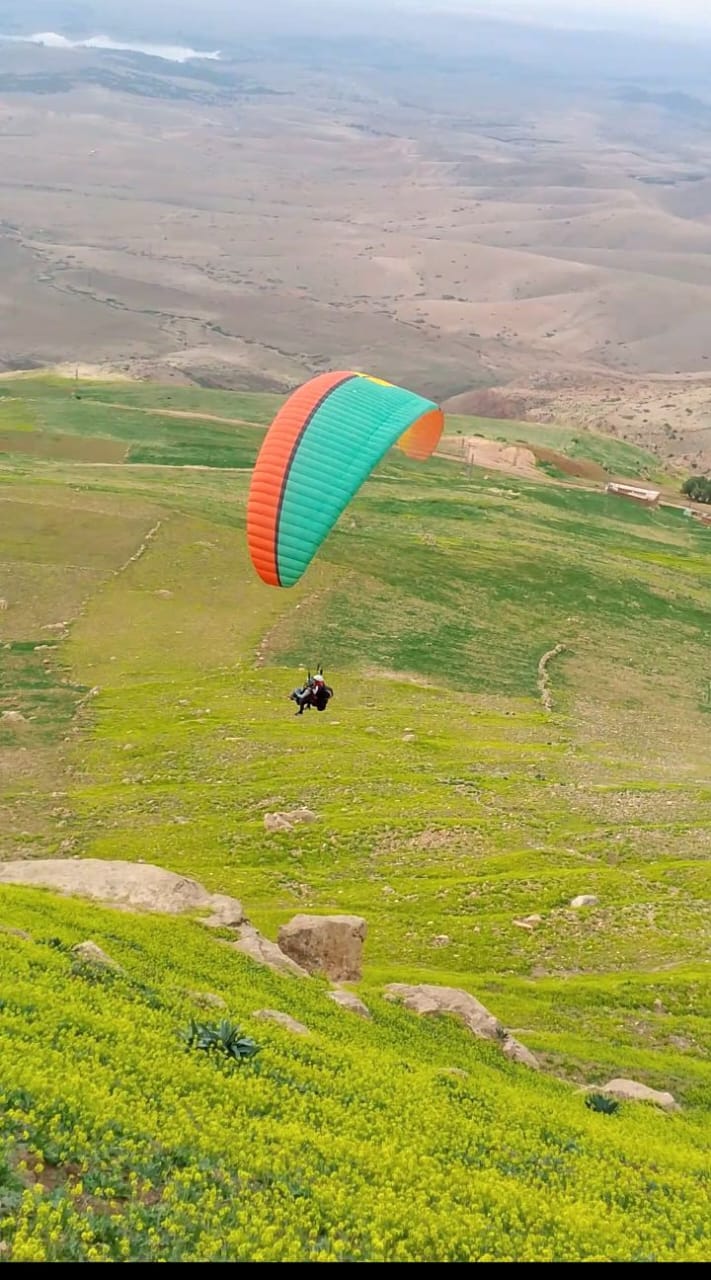
The hour matters as much as the month. In low sun the relief stands out and the lake gains colour, while the midday light flattens everything. Your flight time depends on the air first, as our guide to the Aguergour sky explains. If light is your priority, say so when you book, and we will tell you whether an early or late slot is possible on your dates.
Making the most of fifteen minutes
The flight goes quickly, and the front seat helps. Nothing crosses your view: no lines, no arms, no instruments. The risers and brakes run from the pilot’s shoulders behind you. A few habits will help you use that space:
- Ask the pilot to name what you are looking at. Our pilots have flown this terrain for over ten years, and questions work very well in the air.
- Leave your phone in a closed pocket. The pilot films with a pole if you asked for footage, and your hands stay free.
- Look behind you and to the sides during turns, when the wing banks and the lake swings into view. The big turn is where the view really opens up.
And elsewhere in Morocco?
This blend of lake and mountain belongs to this corner of the country. Other sites have other strengths, such as the Atlantic cliffs around Mirleft, and they are covered in our overview of flying regions in Morocco. For distance, access and price from the city, see the paragliding in Marrakech page.